av intoto | 15. juli 2022
We launched the beta version of Studio a year ago. We work daily to implement more features, most of them not directly visible to the end-user. The core functionality is now reasonably stable, and we are working hard to improve the lack of water data. We don’t believe...
av intoto | 10. juli 2022
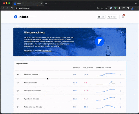
Previously, you had to do an export to get data in minute resolution. Now the location pages’ graph shows minute data and an overview of the changes at each point you see in the diagram. Try it yourself by going to a location.
av intoto | 15. juni 2022
Just minutes after MapBox launched the “earth mode” option in its mapping tools, this was available at Intoto. Try it yourself by zooming out on the map, so you see the whole world. Go to the map.
av intoto | 15. april 2022
Water flow (“cubic” or m3/s) is a standard unit of measurement for moving water volumes in rivers. Traditionally, calculating this is a somewhat extensive and physical operation, with uncertainty in data against high water levels. We have developed a data-driven model...